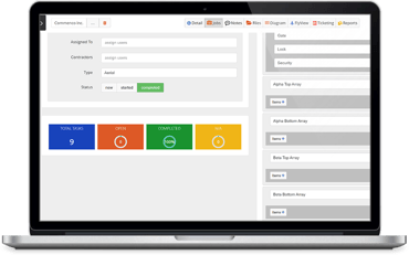
UAV Huddle Platform
Drone Service and Data Delivery System
Aerial Media & Data is a drone service provider and we are changing the way our clients think about drone data, enterprise inspection, and management. We believe companies should have a "one solution" view of their assets and be able to correlate all associate data for a given asset in one place, including the most current and real-world visual data.
Why Use Aerial Media & Data
Consistent Data: We record the Flight Altitude, GPS coordinates (XYZ), Camera Tilt, Zoom Angle, and Zoomed Item for each mission to create consistent data over several different time periods.
Deliverables: Thermal, 2D Orthomosiacs, 3D Models (Digital Twin), Point Clouds, Measurements, High-Pixel Zoom Imagery, Volumetrics, Panorama, 4K Video, and Inspection Data.
Location Intelligent Overlays: We can overlay location intelligent data on your 2D Orthomosaics--Wetlands, Flood Hazard Zones, Substations, Powerlines, Sewer & Water Mains, Parcel Data, Elevation, and Contour Lines.
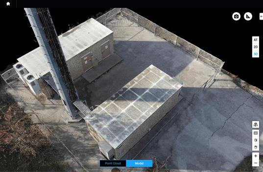
Digital Workflow For The Digital Age
Drone data with a robust data delivery system will help you save time, lower cost & increase safety.
The UAV Huddle Experience
Traditional drone service an deliverables with robust data collaboration and management
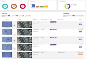
Documentation and Record-Keeping of Site Conditions
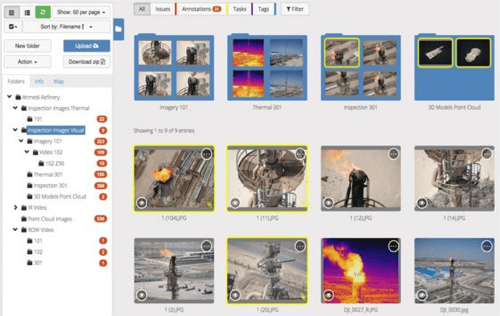
Data Sharing to Project Managers and Stakeholders
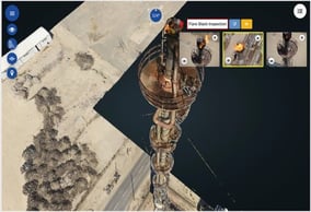
Site Data: Measurements, Volumetrics, Feature Extraction
